
Embark on a fascinating journey through Mexico's geological wonders with GeoInfoMex, the premier app for geological exploration and consultation. Harness the power of comprehensive geoscientific data right at your fingertips and uncover the secrets of the land beneath you. Dive into a wealth of resources, including geological-mining and geophysical data, geochemical maps, and detailed insights into mines, beneficiation plants, and striking rock formations. Delve into the agrarian nuclei through the National Agrarian Registry and marvel at the natural beauty preserved within CONANP's protected areas. Stay informed about seismic activities with real-time earthquake data from SSN and IG-UNAM, and access crucial hydrological information from Cencas to understand Mexico's rich natural resources. GeoInfoMex is your gateway to an unparalleled geological adventure.
Features of GeoInfoMex:
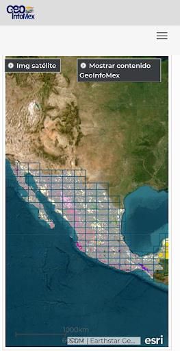
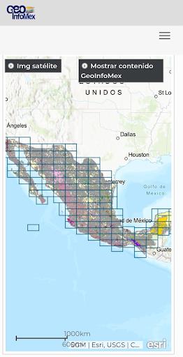
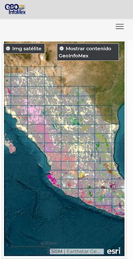
Comprehensive Geological Information: GeoInfoMex offers an extensive array of geoscientific, geological-mining, and geophysical information about Mexico. Users can explore detailed maps and datasets covering geological-mining activities, geophysical studies, and geochemical mapping, providing a holistic view of the country's geological landscape.
Mining and Rock Data: Discover valuable insights into Mexico's mines, beneficiation plants, and notable rock formations. The app provides comprehensive details on the location, characteristics, and other pertinent information about mining operations and significant geological features across Mexico.
Land Ownership Details: Access crucial information about agrarian nuclei (ejidos) from the National Agrarian Registry. GeoInfoMex allows users to understand land ownership, boundaries, and other essential data, enhancing their comprehension of Mexico's agrarian landscape.
Protected Natural Areas: Easily explore data on protected natural areas managed by the National Commission of Natural Protected Areas (CONANP). Whether you're passionate about eco-tourism or committed to nature conservation, this feature offers invaluable insights into Mexico's diverse and biodiverse natural landscapes.
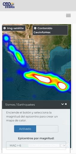
Earthquake Monitoring: Stay ahead with real-time earthquake data sourced from the National Seismic Service (SSN) and the Institute of Geophysics at UNAM (IG-UNAM). GeoInfoMex keeps users informed about seismic events, including their magnitude and location, ensuring safety and awareness in seismic-prone areas.
Hydrological Data: Gain access to vital hydrological information from the National Water Commission (CNA). Explore Cencas hydrological reports to understand water resources, river basins, and water quality, empowering informed decisions about water management and conservation in Mexico.
Conclusion:
Whether you're a geoscientist, researcher, environmentalist, or simply intrigued by Mexico's geological tapestry, GeoInfoMex is the essential app that delivers precise and current information in a user-friendly format. Tap the download button today to embark on your journey of discovery and explore Mexico's enthralling geoscientific landscape!
3.1
2.95M
Android 5.1 or later
gim.pack